Written by Lionel Jensen. Photos by Lionel Jensen and Jeremy Doucet.
March 4, 2018.
With persistent weak layers well bonded, and mod/low/low in the Avalanche Bulletin, it was time for something fun! Ideas being thrown around included Aemmer Couloir on Mt Temple and Grand Daddy Couloir at Bow Peak. Cathedral Mountain offered a chance to bag a peak and a couloir, as long as we could find Chic Scott’s route from Summits and Icefields, so Cathedral Mountain it was.

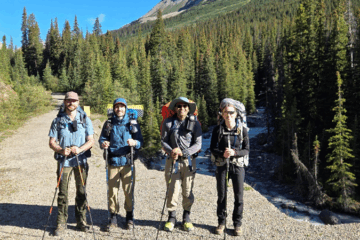
Rad crew, rad trip. Bagged the summit and the couloir, what more could you ask for? (Left to right: Martin, Darren, Jeremy C, Jeremy D, Lionel).
The crew included 4 skiers (Jeremy Cherlet, Jeremy Doucet, Martin Margold and Darren Mouland), and 1 person doing it right – yours truly, Lionel Jensen the split boarder. We set out from the parking lot at 7:45, perhaps a tad too optimistic about how quickly we would ascend the 1600m between us and the summit. The forecast offered clear skies until 1PM so the goal was to be up by then. We made good time along the Lake O’Hara road and turned off just past the 3km marker. While we intended to follow the Chic Scott route (referred to as the South Couloir route here and in online blogs), we couldn’t resist the remnants of a skin track going up the “Bushwhack route”. As the name implies, the downside to this uptrack is non-stop bushwhacking.

We left Lake O’Hara Road just after the 3km marker. This meant a bit more trail breaking through a beautiful meadow. Stay on the road for another 400m to save a bit of time.
The snow conditions were okay – 10cm of fresh on top of a firmly consolidated snow. Along the Bushwhack route our progress slowed as we struggled for traction while side-hilling on this very firm surface.

Adventures along the Bushwhack route.
By 11 we had broken into the alpine and were greeted by stunning views of the surrounding peaks. We savoured the blue skies while they lasted. As we ascended towards the glacier it became clear that miserable side hilling was going to be the theme of the day. The entrance to the North Couloir (which drops about 1800m to Highway 1) seemed fairly obvious, as the Cathedral Craigs were a prominent landmark. That line would be epic; from other trip reports the crux varies from a 1m step down blue ice to a 10m rappel down a waterfall. That line would take some serious preparation and will have to wait for another day. At 12:45 we got our first good look at the summit ridge. Darren succinctly summarized the mood, “Wow, we aren’t even close”. While the folks on AT gear still seemed sprightly, it was becoming a grind for Lionel on the split and Jeremy D on the frame bindings. The wind was picking up, visibility was dropping and our 2 o’clock turn around time was quickly approaching.

Approaching the glacier. Side-hilling for days.
In the spirit of our Church-related theme, an interlude for a few confessions might be appropriate. We elected to forego roping up on the glacier as there were no drooping spots to make us nervous, we didn’t expect any large holes to exist on such a small glacier, and leaving the ropes stowed offered some expedience. Communication was great in the morning but on the glacier we began to get a bit too spread out to regularly check in with each other. Fortunately, we did pause briefly before the summit ridge to see how everyone was feeling and make a plan. Darren, Martin and Jeremy C were in their element and were stoked to head for the top. Owing to fatigue, blisters and overall sore feet, Jeremy D would wait at the base of the summit ridge. Lionel, very far from being in his element (more of a snowboarder than a mountaineer), would give it a try but was ready to turn back if side-hilling above the summit ridge’s large cliffs got too perilous on the split board.

Passing Cathedral Craigs on the way across the glacier.
Darren and Martin made the full ascent on skis, reaching the top at 1:30. They quickly headed back down to reconnect with Jeremy D. Below the final summit step Jeremy C opted for boot crampons, Lionel followed suit (finally got to put the new crampons to use!). Jeremy C topped out at 1:45 and Lionel made the top at 2.
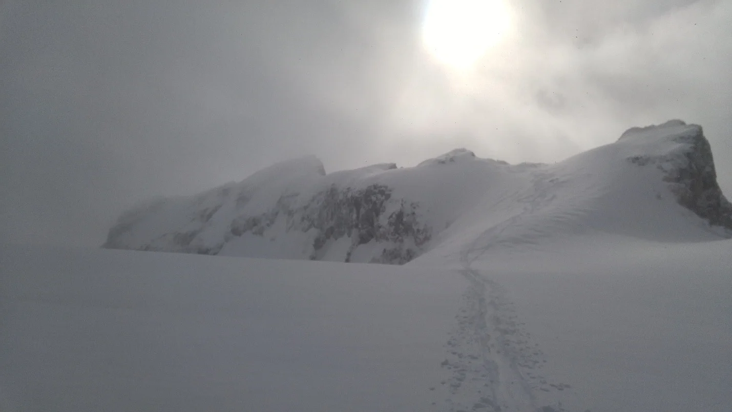
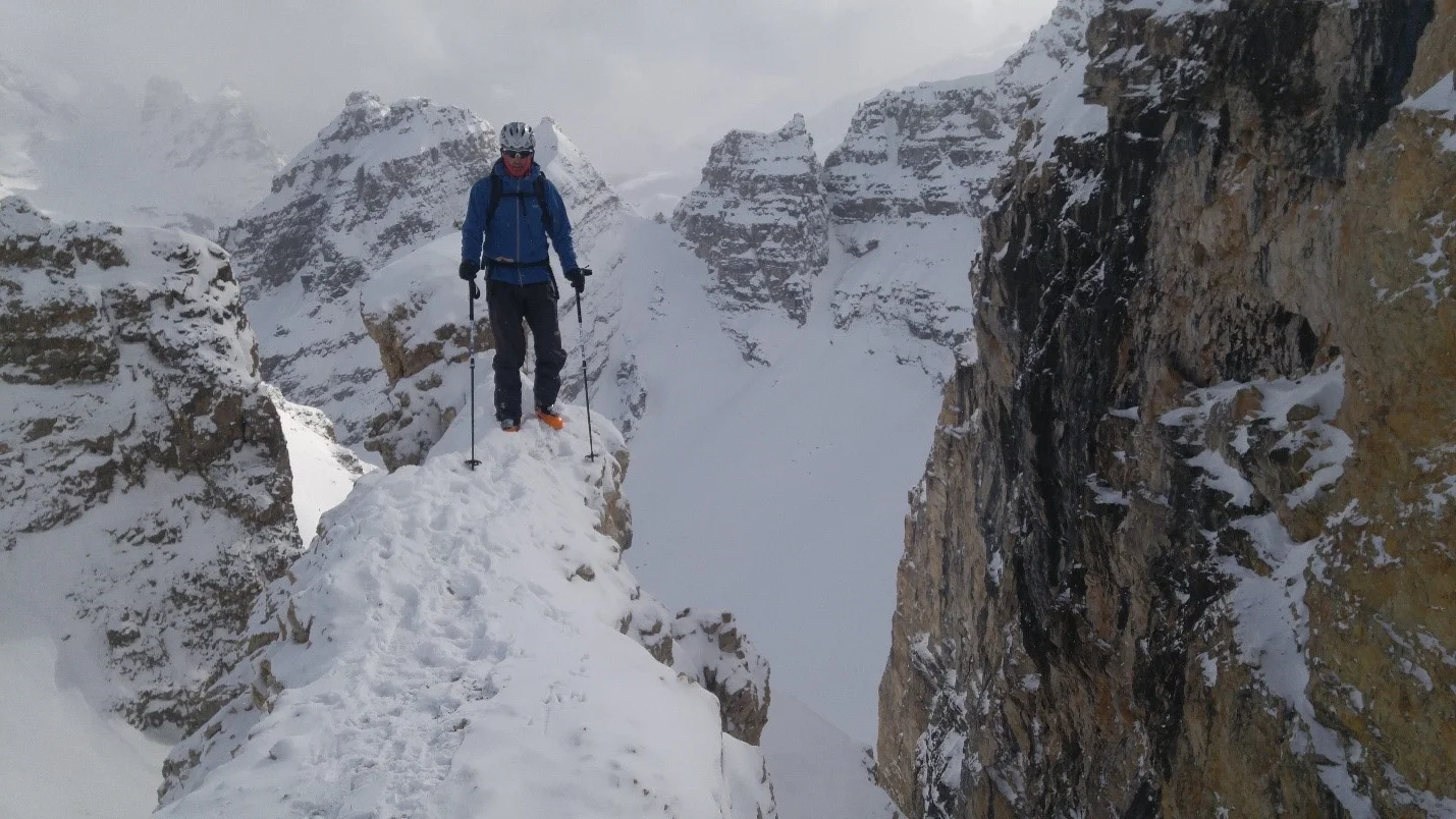
Quintessential Cathedral Mountain picture of the summit ridge. Stable snow is a must as a small slide would have big consequences (photo taken after our descent).
The ride down from the summit was a blast, the fresh 10cm was great fun to play in. In places the snow covering the glacier was only 6 inches deep, offering an opportunity to feel glacial ice under your edge. Chalk that up to an interesting experience. While we had taken the Bushwhack route up, Lionel was keen to find the South Couloir for the trip down. On the way up, Lionel thought he recognized the entrance from online pictures. During our ascent we took a quick look at this line and had written it off as way too rocky. On the way down we decided to give it a closer look. Martin didn’t mind walking out on the rocks to scope the line (see picture) and we had found it! Given the abundance of online beta for the Bushwhack route, and paucity of reports for the South Couloir route, I’d be tempted to say it doesn’t get skied as often. Likely because it is a safer option to follow your tracks back down. The consequences of dropping into the wrong line could be severe (see panorama picture taken below the couloir).

Darren, Martin and Jeremy C heading up the final summit step.
Once in the couloir it isn’t particularly steep (best guesses range from 35-40 degrees), and it opens up quite a bit. The top is nasty with rocks. This was overcome by bootpacking in or sending it over the rocks. Only the splitboarder elected the latter option and the scars in the Ptex will serve as a pleasant reminder of this trip. On this day we had no issues with sluff and were free to enjoy the couloir in one long shot (thigh-burn permitting).
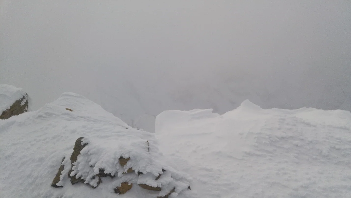
Summit cairn, Cathedral Mountain, 3187m.
From there we navigated our way out of the basin below Vanguard Peak. Through the trees it was flat for some time, but one last pitch before the road was worth transitioning for. We found an open path through the forest (perhaps a creek bed) that offered a final few turns before crossing Cataract Brook and getting back on Lake O’Hara road.
Martin posing for a pic before dropping into the couloir. The prominent face on the right also serves as a landmark for this couloir. Entrance is skiers right.
The round trip was approximately 21km (according to Jeremy’s Fenix 5 watch and mapping the route on Google Earth). We can’t account for why the trip is listed as 14km in Summits and Icefields.

Entering the South Couloir in a manner that doesn’t leave lasting memories in your base.
Note on route finding: For anyone else looking to follow the Chic Scott’s “South Couloir” route, stay on the road for about 400m after the 3km sign – avoid getting sucked into the meadow too early. Aim for Vanguard peak to gain the basin below Vanguard. The drainage you want to follow is clear on Google Earth. Follow this basin until it ends and the South Couloir is fairly obvious (see pictures).

South Couloir once the rocks have been navigated.

South Couloir from the bottom with Darren in full charge mode.

Panorama shot from the basin below Vanguard Peak/South Couloir. South couloir is on the right side of picture. From above, the more tempting descent would take you above the cliffs just lookers left of the South Couloir. At the very least it would mean mandatory air into a tight shoot, or a short rappel. Worst case scenario could involve cliffing out on some very large ledges. This panorama picture also explains why bootpacking up the south couloir is the only way out of the basin and is recommended in Summits and Icefields. If you are also in a position of looking for the couloir without having boot packed up it, make sure you get it right.

Finding the South Couloir from the top. From this outcropping you could see all the way to the bottom. Hopefully this outcropping can serve as a landmark for other groups.

Ascent via the Bushwhack route (1), approaching the glacier (2), and descending via the South Couloir (3). Courtesy of Jeremy D’s watch.

Ascent of the Bushwhack route (red) and descent via the South Couloir (blue). (Approximate routes drawn in).

A better look at the Bushwhack route (red) vs South Couloir route (blue). (Approximate routes drawn in).
