Cheops Mountain (West Ridge), Glacier National Park BC, July 12 2021
~19km & ~1460m elevation, ~6.5 hrs moving time & 9 hrs car to car with lunch and lots of photo stops
We had intended to do a different objective, but due to the road closures, we ended up with a later start than anticipated. As an alternate plan, we opted to do Cheops Mountain.


We parked at the visitor centre in Rogers Pass and started up the Balu Pass trail (note: we noticed signs effective July 15 indicating a minimum group size of 4, so check restrictions before going). We were up to the top of the pass within about 2 hours with views down the valley and looking into the closed Cougar Brook Valley (requires permits to drop into the valley). This is where the Balu Pass trail ends, but we continued towards the west ridge of Cheops. There was a path towards the base of the ridge, which briefly faded few times but was mostly well defined or marked with cairns the whole way. We made our way through a small bushwhack section and then were on talus field which we easily made our way up. Beyond this, at the top of the ridge, we were on blocky quartzite which we followed to the summit.
The book rates this as second class. However, we found that if you follow ridge proper, it is more third-class with minor exposure on good rock, or you can follow a path that traverses below the ridge which goes at around second class scrambling, with no exposure.
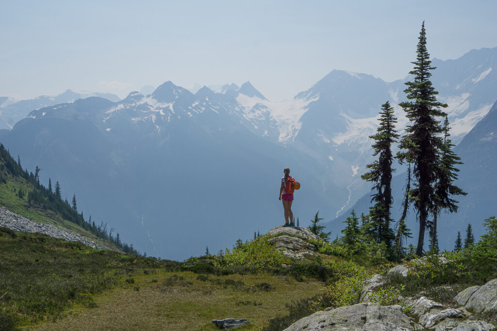
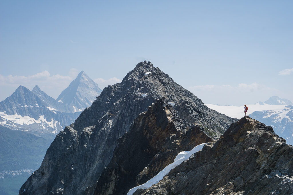
The ridge and summit provided amazing views of the big surrounding peaks. We were fortunate to have minimal smoke when we went, and expansive views – an amazing effort to views ratio.
Additional Reference: Rogers Pass Alpine Guide: The Heart of the Selkirk Range (Centennial Edition) , David P Jones, p.108